
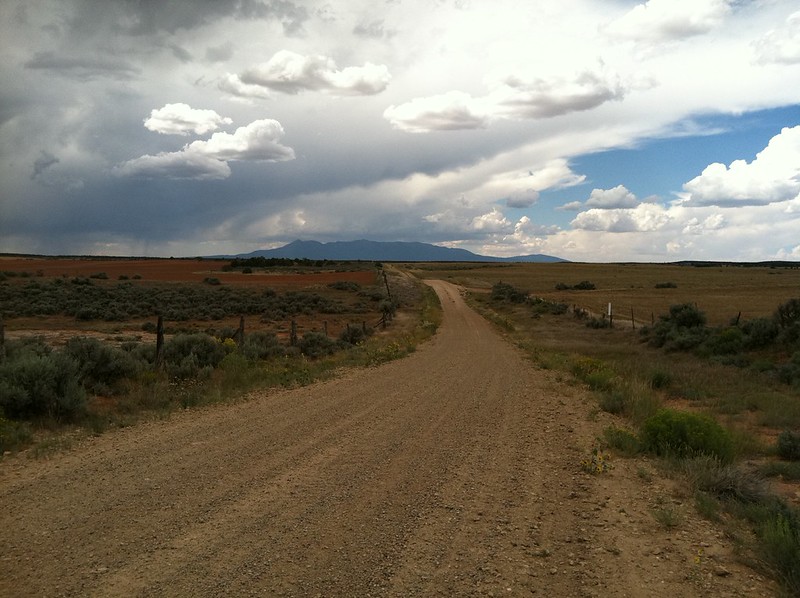
Taken from the Colorado/Utah state line, looking toward Utah.
We finally got into some mountains after crossing a lot of flat area.

Descending toward Moab.


241 miles in a bit under 9 hours.
Day 5 was planned to take us out of Moab, north-west toward Green River, then west to Salina.
The evening before, we cleaned our air filters, but we had arrived in Moab just after 6:00, so Tony couldn’t buy any filter oil. So in the morning, we showed up at Moab Powersports just before 9:00, when they opened. They loaned Tony an oil drain pan to change his oil and some filter oil. Tony also re-jetted for the lower altitude.
While he did that, I also changed jets. My bike had been surging a bit the day before, and that usually means it is running a bit lean.
We finally got on the road from Moab a little after 11:00 - definitely not an early start.
Tony took some pics of the Moab red rocks, but I was feeling behind schedule, plus my bike started surging again, worse than before. We thought about trying to find some shade to put the jets back, but the trees are all really short. By the time we found one which might work, the bike seemed to be doing better, and I wasn’t looking forward to working on a hot bike in 100 degree temps, so we just continued on. It was puzzling, sometimes it seemed to run well for miles at a time, then it would get bad. Finally we made it to Green River. This is some of the scenery between Moab and Green River.


Lunch at Burger King in Green River - haven’t been to a BK in years!

After Green River, the TAT is supposed to run South of I-70 for a bit, then cross back under it to the north side by following a dry wash. The wash was not quite dry, and the wet parts have the same consistency as wet cement. Tony didn’t go quickly enough through this part and got stuck. He is not holding up the bike there, the back wheel is dug in so deep that it stands up by itself.
To get it out, I gave it some gas while Tony pushed and lifted. With the wheel spinning and Tony behind the bike, he came out completely covered in mud. In the end, we had to give up and try another road on the North side of I-70 because the entrance to the tunnel for the trail to cross under the highway was full of big boulders.

Following our GPS track, it seemed that we should go along the North side of both I-70 and a railroad track for a while, then cross the tracks at some point. We wandered around for quite a while trying to find a way across the tracks with no luck. It was 3:00 so we had a little discussion and decided to just follow the highway until the TAT crossed it again and pick up the trail there.
My bike didn’t want to start. I was looking around to see where Tony had gone, and I noticed gas pouring out from somewhere on the carburetor. I opened the gas cap and a fountain of boiling gas went over a foot into the air!
What happened is that the one-way valve on the ‘shorty’ vent hose I have apparently was blocked, or could not release the pressure from the heated gas. My gas tank is black, so the sun wasn’t helping, but it was probably the heat from the hot motor right underneath the tank that boiled the gas. At that point the heat was really getting to both of us and it was pretty clear that we should call it a day.
I found some vent hose at the auto parts store in Green River and have gone back to the stock vent arrangement. I wanted to buy some heat-reflective stick-on shielding to put on the bottom of the tank, but that is not available in Green River. So, only about 80 miles of progress today in about 8 hours. Luckily we have a few spare days in the schedule. After the gas geyser, riding back to Green River with the one-way valve removed from gas cap, the bike ran fine. I’m pretty sure the expanding gas was pushing itself thru the carb and causing the inconsistent surging problems.
91 miles in 7 hours.
The Black Dragon Wash trail was interesting, but nowhere near as hard as some people made it sound. We spent about five minutes in the morning getting from Green River to where the TAT crosses Hwy 50 - hard to believe we spent probably an hour trying to follow our GPS tracks to the same place yesterday.
Of course, it wasn’t long before our next navigational adventure… We were on Four Corners Mine Road and the GPS track showed we were supposed to head up this dry wash. We spent over an hour trying various faint tracks trying to get where the GPS track was. Eventually we gave up and went back to the main road, which is what we were supposed to have been on all along.


Of course, the Black Dragon did hold some challenges… I told Tony, “That hill looks pretty hard to get up, let’s try continuing up the stream bed.” But he said, “Get the camera out, I think I can get up that.”
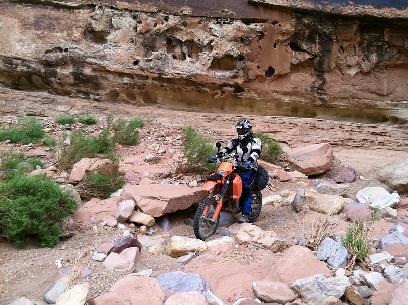
After the Black Dragon Wash, we followed some trails and road north of I-70, then crossed under the freeway on an OHV trail. Then we covered some more miles to Swasey’s Cabin.


From the cabin, the road heads down Eagle Canyon. This was a really fun descent and goes under I-70 on some huge bridges, but eventually we had our fill of washes. This one and a couple others that we followed seemed to go on and on. There were some really silty sections.
We rode almost 180 miles, only 20 of them on pavement. It was an amazing day. We worked hard, and there was no way we could have done the planned Moab to Salina in one day, especially not with our various gas and navigational mis-haps. Even without those, some of the roads just seemed to go on and on, especially the washes, where the loose, gravelly soil and winding nature kept speeds fairly low. We even skipped one section near Salina, choosing to stay on the I-70 access road unstead of taking a 20 mile detour in the rain on slippery clay roads.

But all the work was worth it. Tony claimed that Eagle Canyon was some of the most fun he has had for a long time, and I thought the washes were great. I actually enjoyed some of the navigation issues early on because we were going cross-country in terrain similar to the Dakar race, following similar navigation methods.
In Richfield, we stayed at the Days Inn. It was a bargain for $65 a night, with spacious quiet rooms, hot tub, and breakfast. We had dinner at Pepper Belly’s Mexican, and I ordered what turned out to be the biggest burrito I have ever seen. I could only eat almost half of it. Note the little bucket of chips and the size of the drinks - no-one goes home hungry from this place.

179 miles in a bit under 12 hours.
We tried to get an early start to day 7 to avoid some of the hottest parts of the day. We got up on schedule, but Tony didn’t sleep well, and was a bit off for the first part of the day.
The route climbed out of Richfield over a red-rocks and sage/piñon ridge and brought us into scrub-oak country. There were a bunch of fence-line jeep roads, then we went on an ATV part of the Piaute Trail. Actually, we followed a bunch of this Piaute Trail, starting between Salina and Richfield - I’m not sure what it is, but it seems like a neat thing. The ATV trail was a bit more than Tony was ready for when he wasn’t feeling fully awake yet.
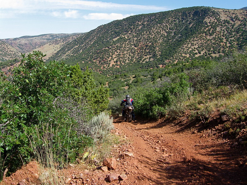
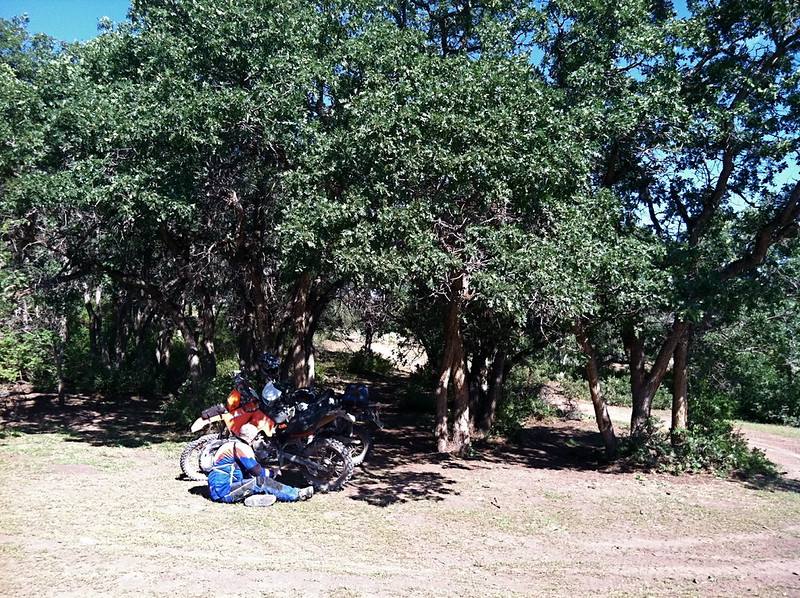
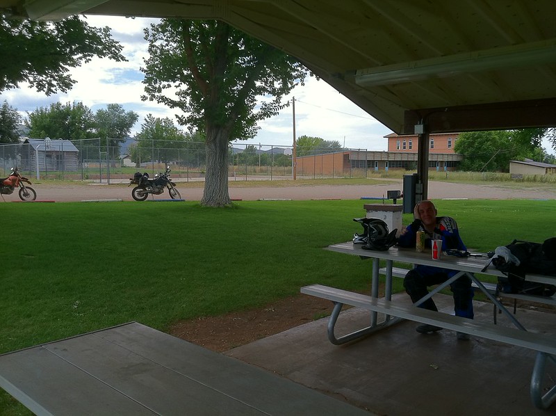
We took a lunch break in the park in Kanosh. The friendly lady at the Mercantile there guessed right away that we were TAT travelers.
After Kanosh, we wound around over some ridges, then crossed under I-15. Shortly after that, the roads got straighter, and dustier.
We could see Crystal Peak for many miles before we finally got to it.


Baker NV, our destination for the day, is actually just visible to the West. Just before we left Utah, the TAT routed us onto some little tracks along a ditch, in this case, and along a fence later.